DEPARTMENT of GEOGRAPHY & EARTH SCIENCE
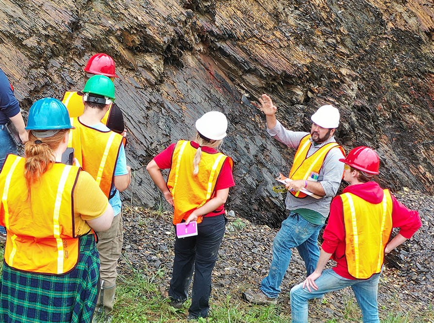
We offer students excellent undergraduate and graduate programs of study in geography, earth sciences, sustainability, and the mapping sciences. Our undergraduate programs are designed to give students an appreciation of the natural and human environments of the earth, how they are coupled, and how they interact. Our students develop skills in collecting, recording, and analyzing geoenvironmental data. They become involved in laboratory work, field investigations, and environmental exercises that help students sharpen their critical-thinking and technological skills and to arrive at solutions based on evidence and inductive reasoning.
 |
Take a department tour |
Explore Our Programs
Expertise:
 |
ATMOSPHERE
|
 |
GEOLOGY
|
 |
HUMAN GEOGRAPHY
|
 |
LAND USE
|
 |
MAPPING SCIENCES
|
 |
SUSTAINABILITY
|
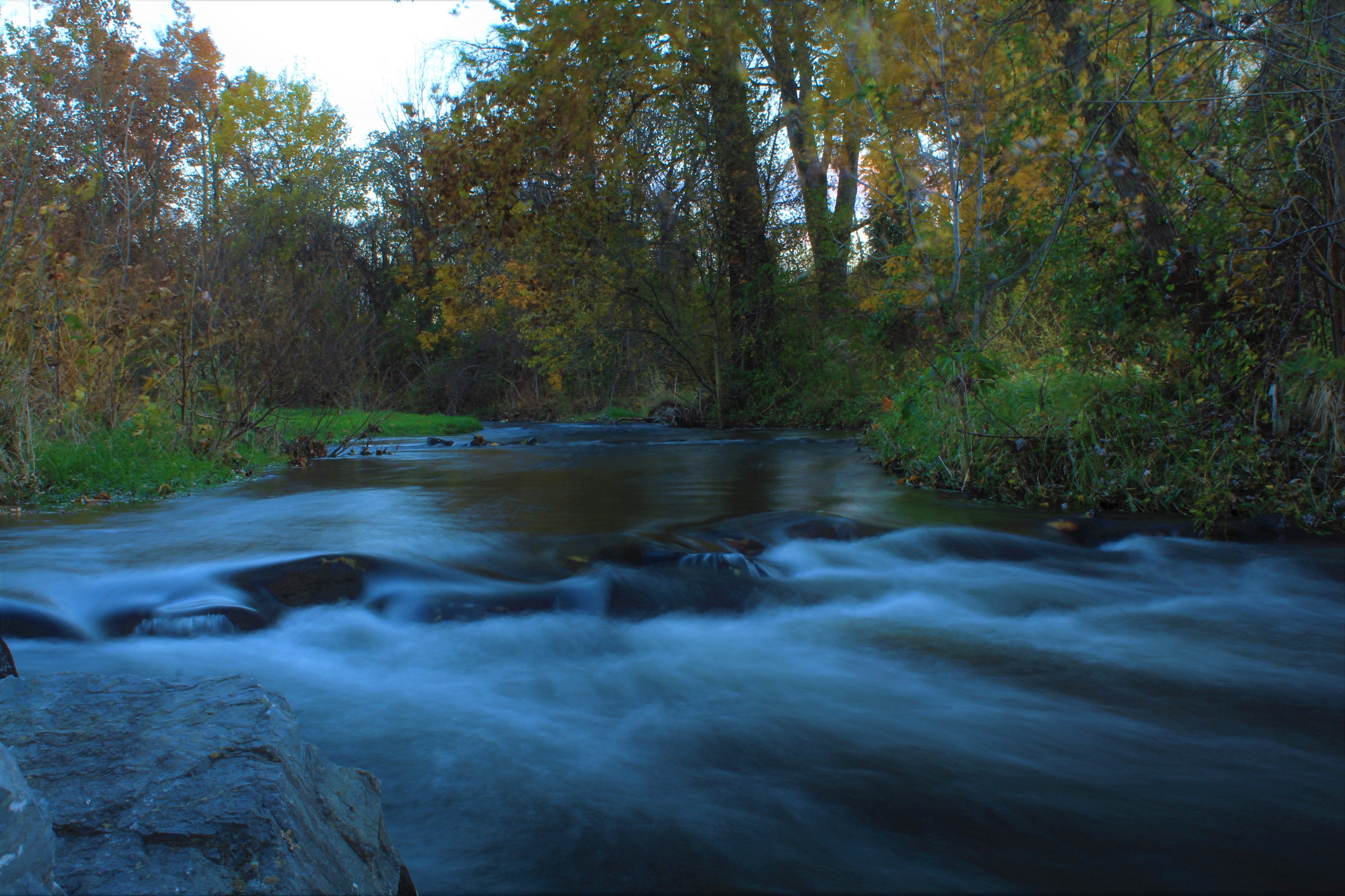 |
WATER RESOURCES
|
Our interdisciplinary nature
The Department of Geography-Earth Science has an interdisciplinary nature for our faculty members come from diverse backgrounds and have had professional and entrepreneurial experiences before joining academia. Our faculty members are currently working on solving real problems in the Cumberland Valley, the Chesapeake Bay watershed, the Delaware River watershed, the Upper Peninsula of Michigan, Europe, Latin America, South America, and Asia. Accordingly, our programs and courses focus on the importance of location, the reasons why places and regions are different physically and culturally but linked economically. The unique quality of our department is its object of analysis-- the earth's surface. Its purpose is to understand how that surface is structured and differentiated and how people have affected, affect, and will affect the landscape.
Degree and Non-Degree GIS Certificate
GIS CERTIFICATE Geographic Information Systems (GIS) Certificate: The GIS Certificate program is a 4 course (12 credit) hands-on curriculum designed to give degree and non-degree-seeking students a strong intermediate background in Geographic Information Systems, data analysis, and geotechnology (GPS, remote sensing, drones, etc.).
All students complete two required courses: GIS I (GEO202, 3 credits) and GIS II (GEO363, 3 credits) and customize the rest of their program by completing any two approved elective courses (see approved list below). All students at Shippensburg University, except GIS majors, are eligible to earn a GIS Certificate. Students may transfer, if approved, up to six (6) geotechnology course credits taken at another accredited institution into the GIS Certificate program.
Graduate students in the Geography-Earth Science Department may double count up to six (6) geotechnology course credits at the 400-level or higher toward both their M.S. in Geoenvironmental Studies program and GIS Certificate program requirements. Shippensburg University alumni who graduated without finishing their GIS Certificate program and who wish to complete it may now return to do so.
| Complete 2 required courses (3 credits each): |
|
| Complete 2 elective courses (3 credits each): |
|