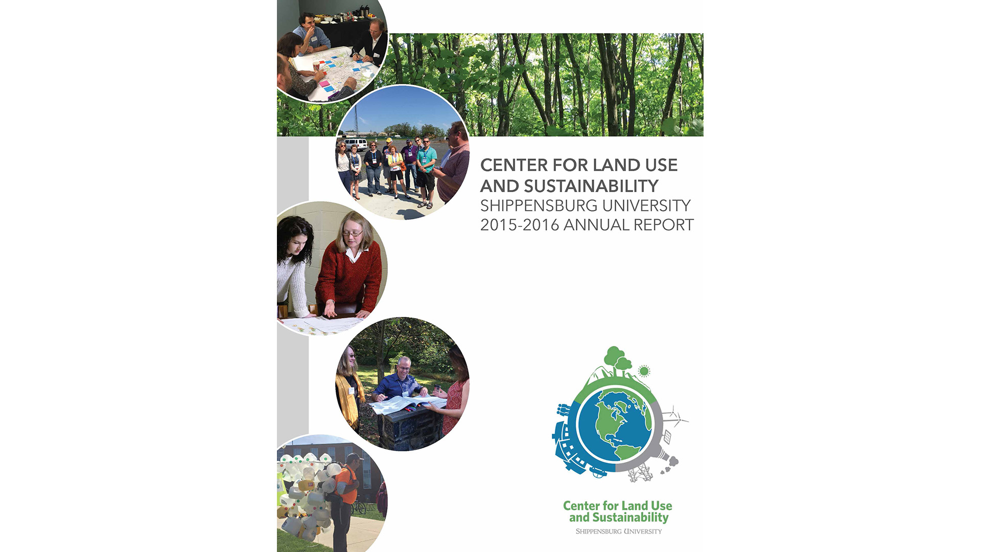
Faculty Research and Publications

Community Collaborations
Story Maps are interactive web maps designed to convey specific messages and allow spatial data to tell their story.
These student-created maps support our community collaborations. Learn more about the Kittatinny Ridge Coalition and South Mountain Partnership or contact us to discuss the development of a web or story map for your own organization.
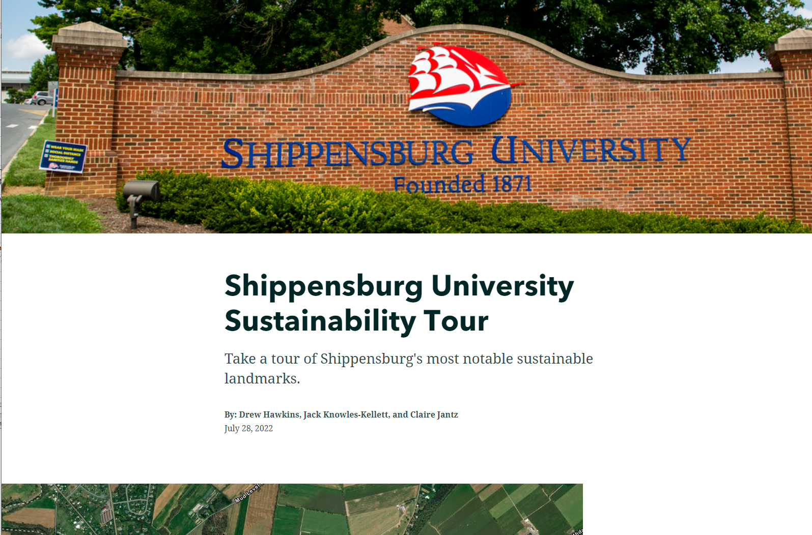
Shippensburg University Sustainability Tour
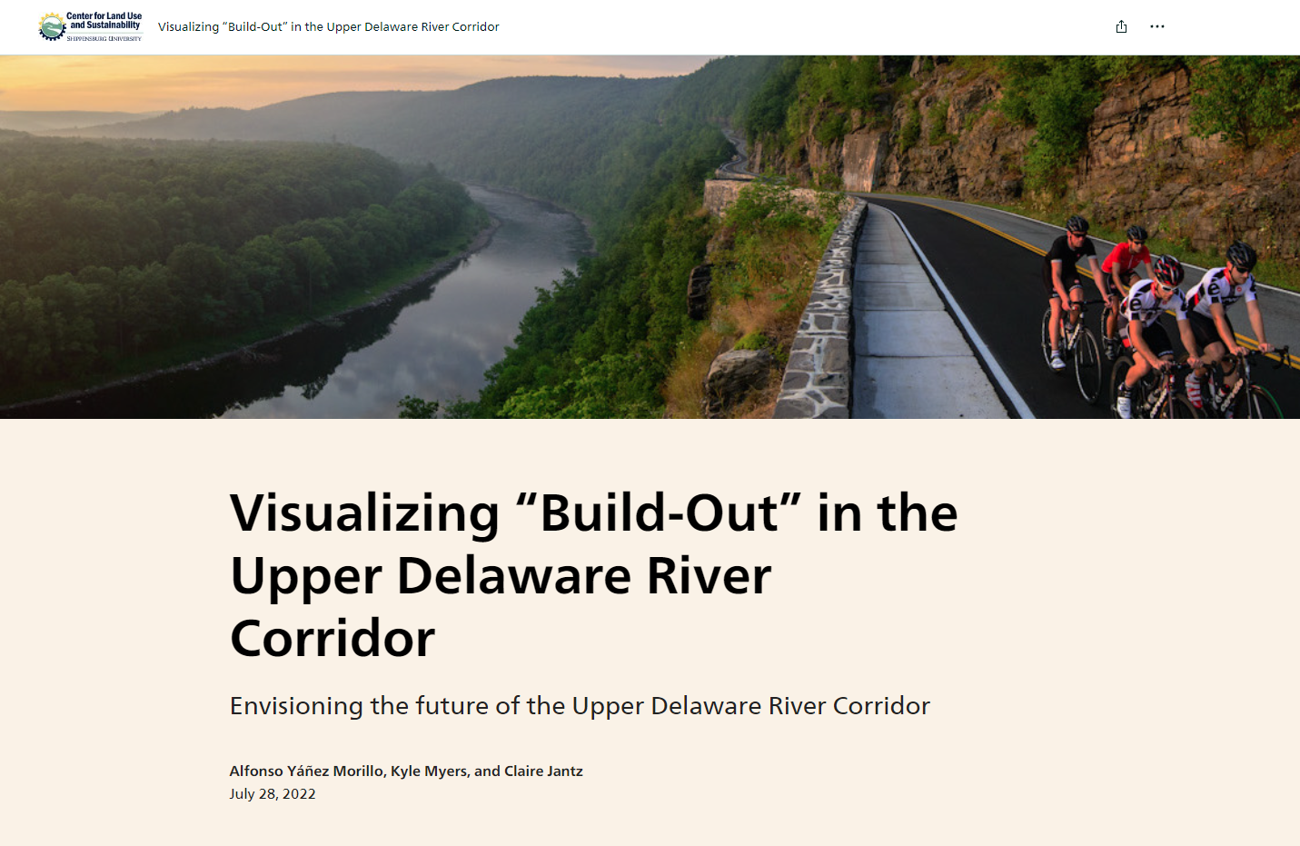
Visualizing “Build-Out” in the Upper Delaware River Corridor
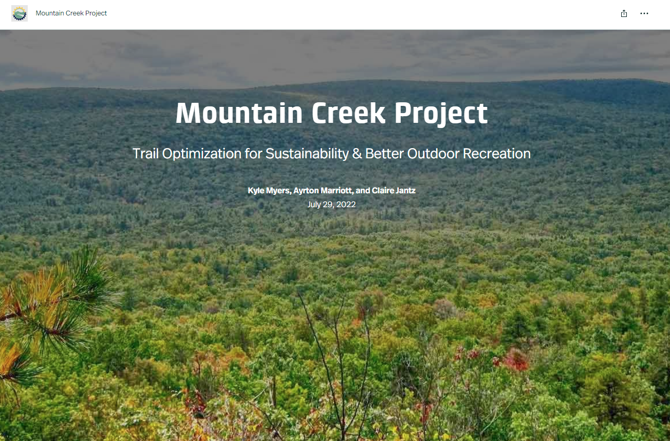
Mountain Creek Project
Trail Optimization for Sustainability & Better Outdoor Recreation
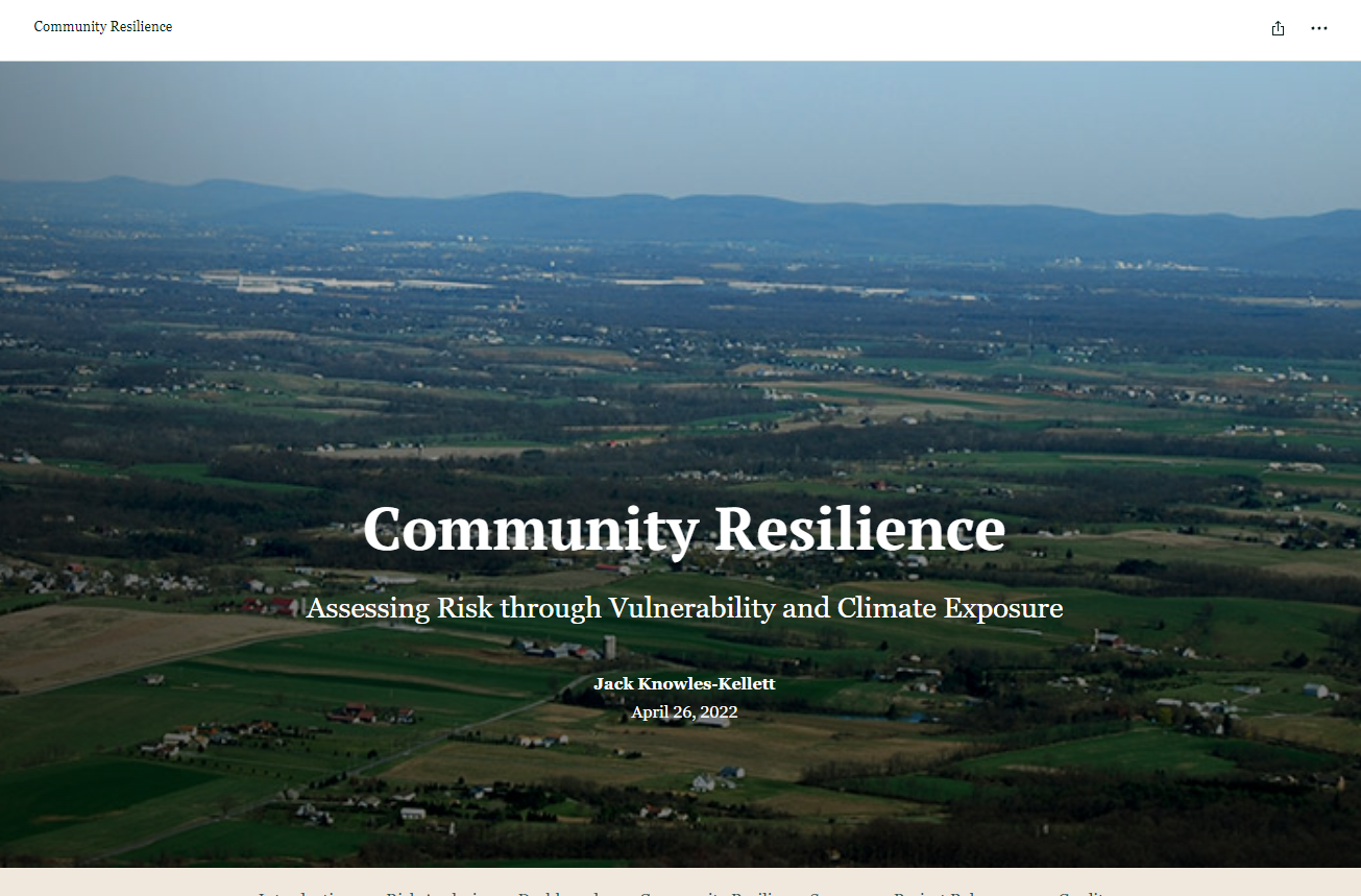
Community Resilience
Assessing Risk through Vulnerability and Climate Exposure
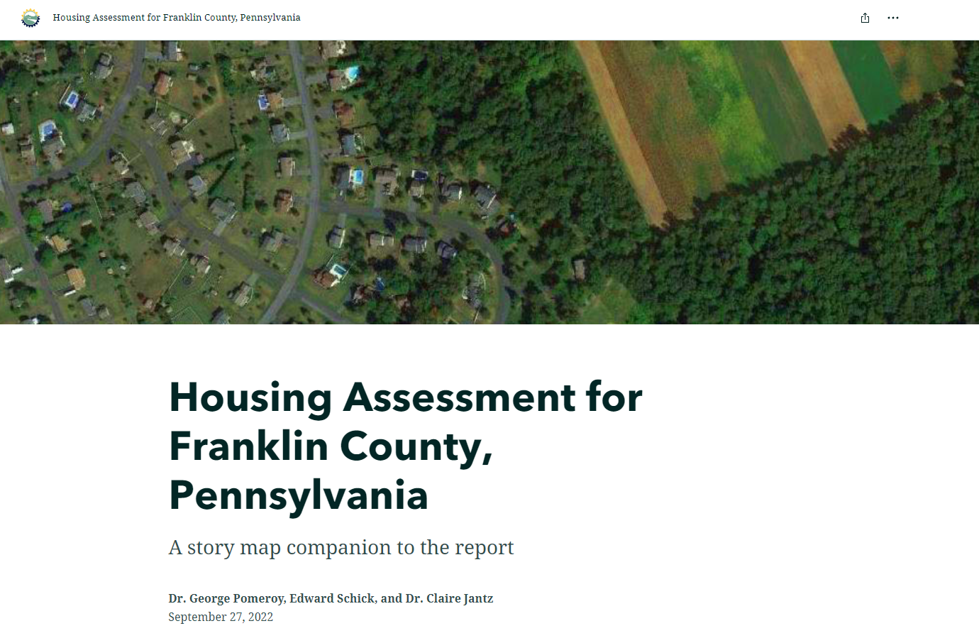
Housing Assessment for Franklin County
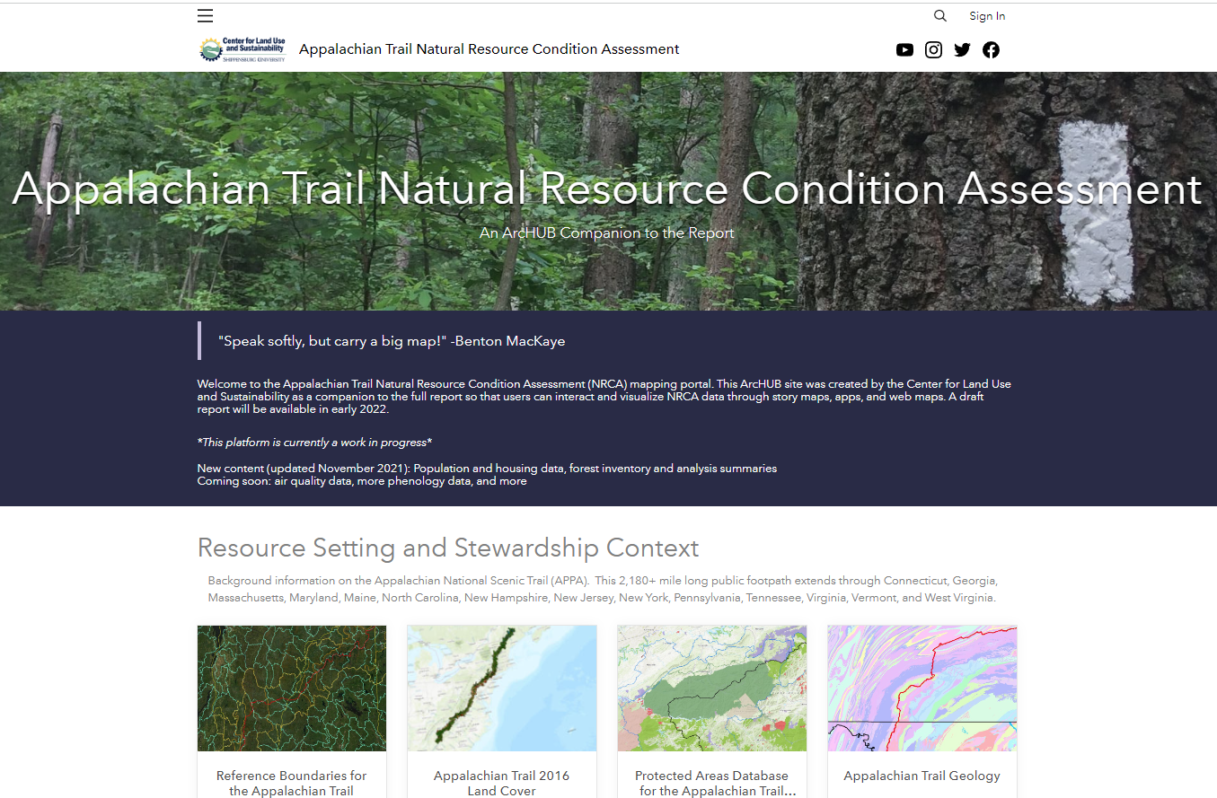
Appalachian Trail Natural Resource Condition Assessment
An ArcHUB Companion to the Report

The Kittatinny Ridge: A Story Map Collection
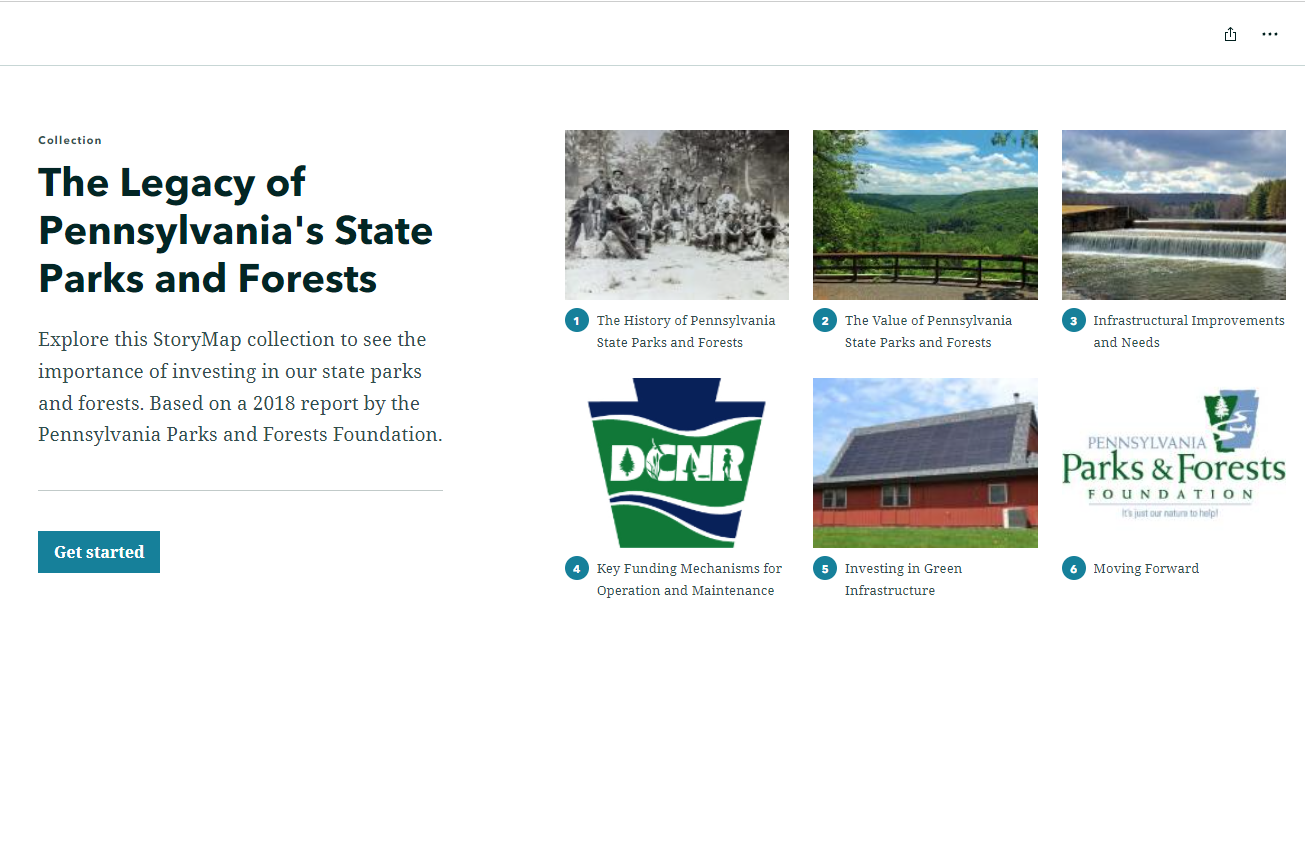
The Legacy of Pennsylvania’s State Parks and Forests: A Story Map Collection
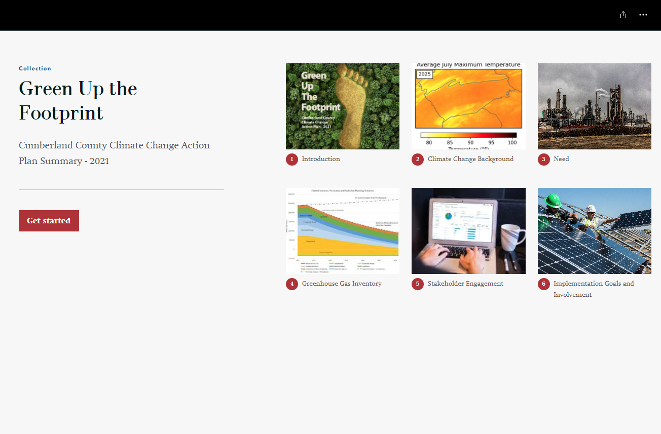
Green Up the Footprint
Cumberland County Climate Action Plan Summary
Shippensburg Community Resource Coalition Resource Guide
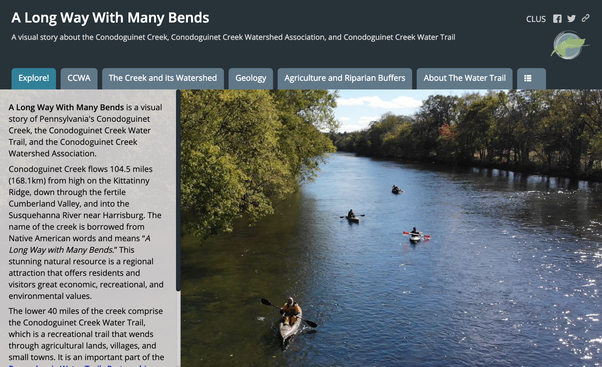
A Long Way With Many Bends
A visual story about the Conodoguinet Creek, Conodoguinet Creek Watershed Association, and Conodoguinet Creek Water Trail
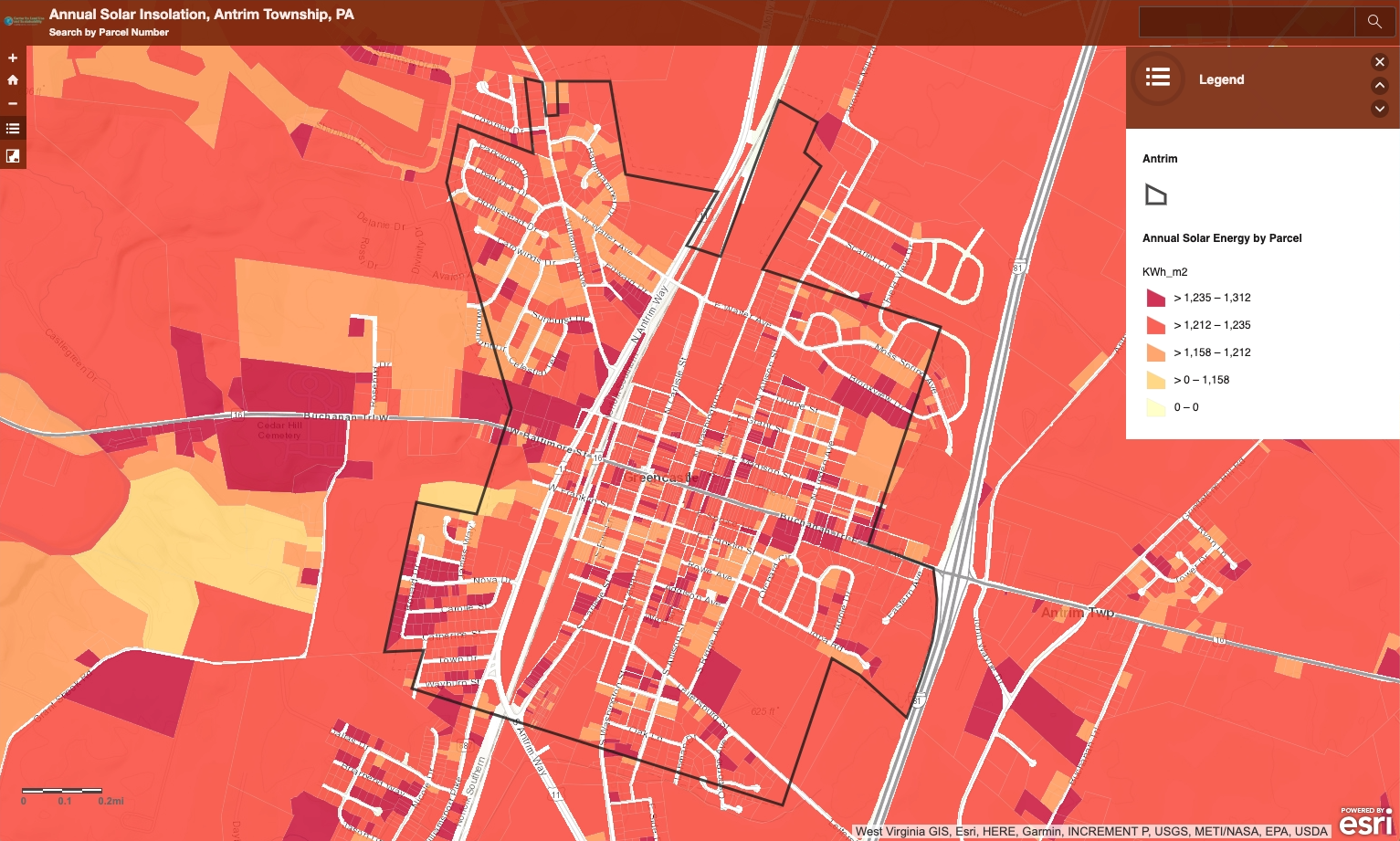
Antrim Township Solar Insolation
Maps
The CLUS analyzes spatial data and makes custom maps. See a selection of products related to our Delaware River Basin Project and Poconos-Kittatinny Cluster Consulting. Contact us to learn more about our mapping services.
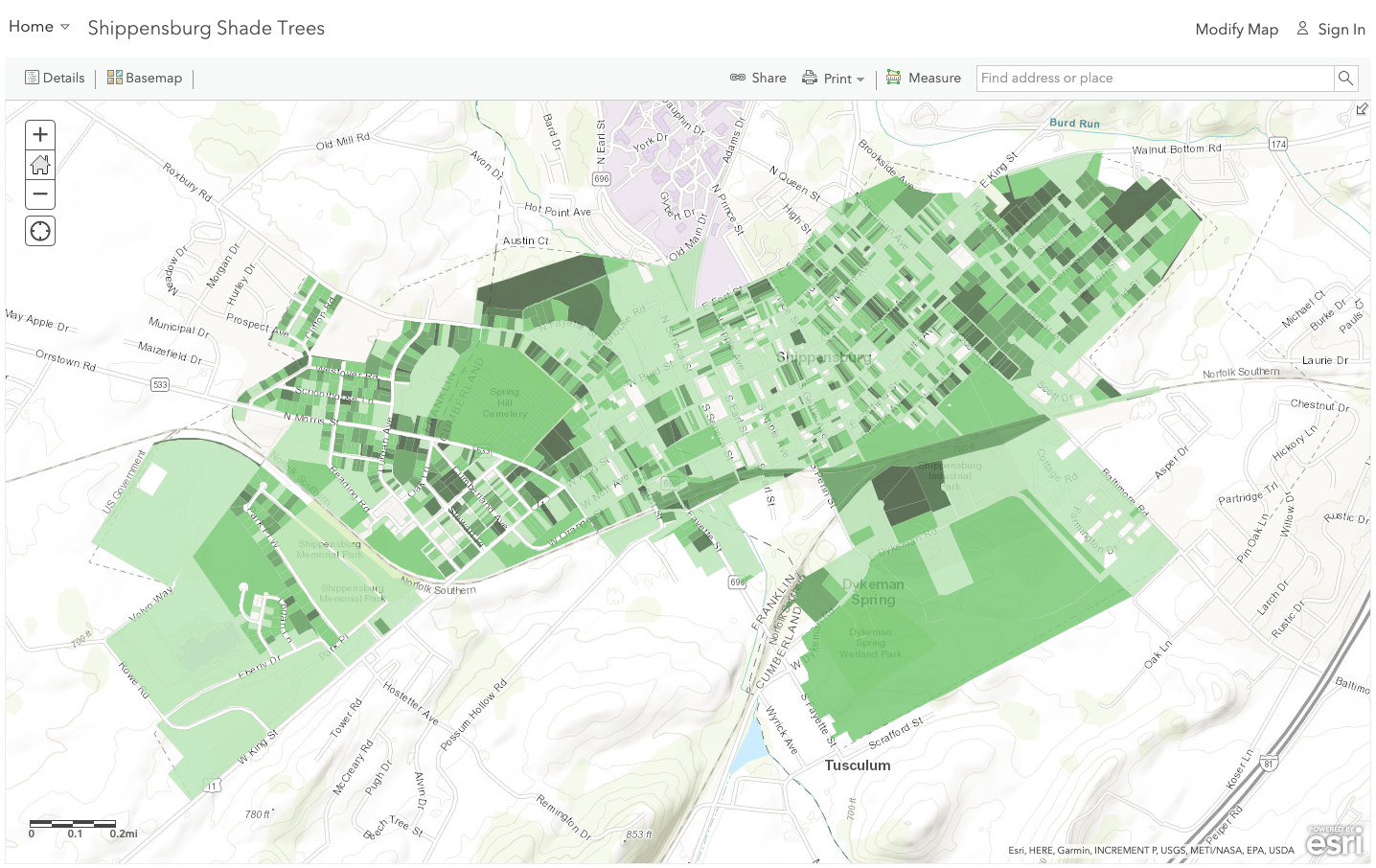
Shippensburg Shade Trees
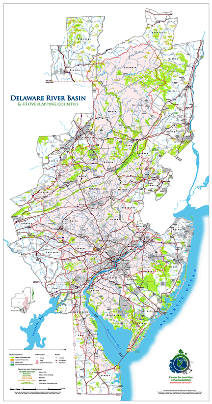
Delaware River Basin Study Area
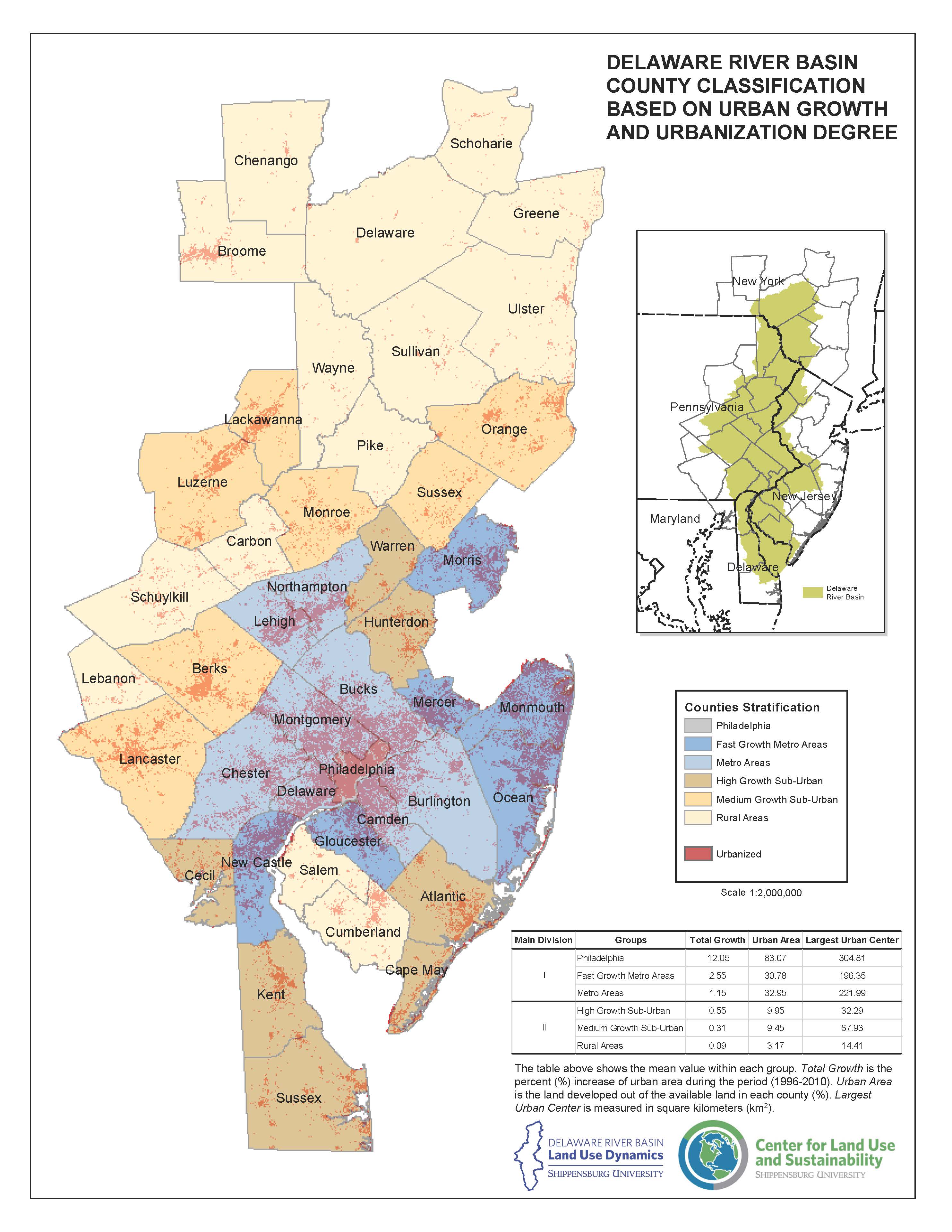
Delaware River Basin Urbanization
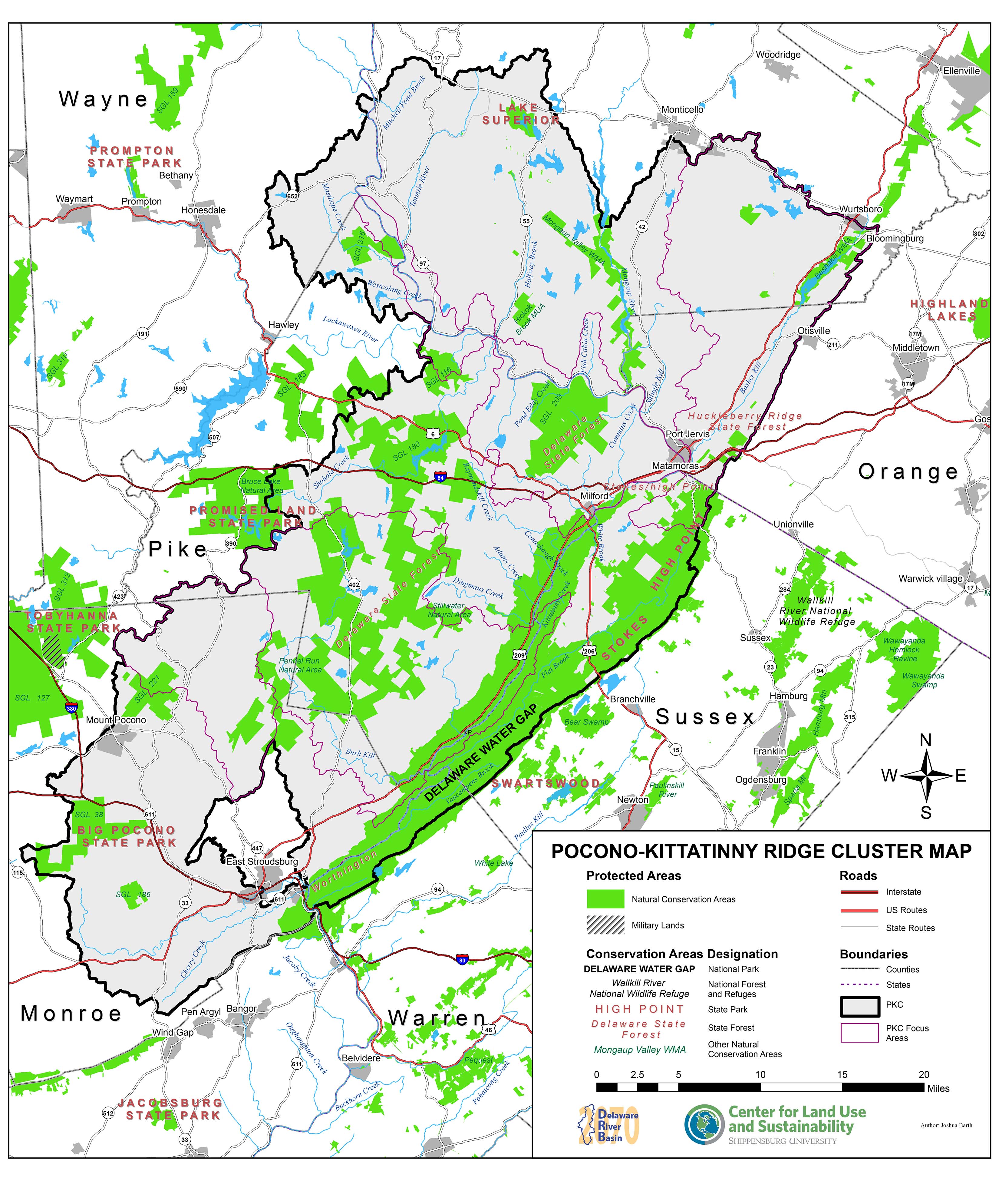
Pocono-Kittatinny Ridge Cluster Map
Annual Reports
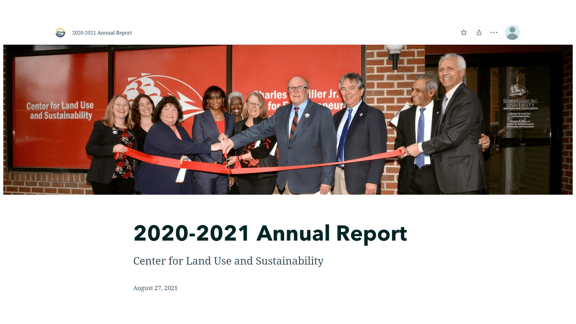
2020 CLUS Annual Report
2019 CLUS Annual Report
2018 CLUS Annual Report
2017 CLUS Annual Report